Emily made sure I was in front to get through the area where we saw the snake last week Once we were past that spot she lead the way. She was kind enough to stop every once in a while to let me catch up. One of the stops was Cassina Springs.
Cassina Springs
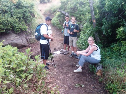
As we were resting we heard "clear the trail" coming from down the trail. We looked down the trail and moved to clear it as some old man came running up the trail wearing very short running shorts. Emily who was still sitting commented, "I think I just saw more hairy thigh than I ever wanted to."
We made out way to the top of the trail and headed out on the road. As planned we made it to the junction of the road that heads east and one that heads west. We chose to keep heading East. We were going to try to find the M. While at the junction I had the scouts find where we were on the map. I tested them a couple of times and they did well.
Map reading
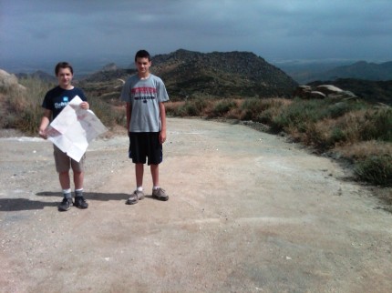
We made it to the Box Springs Lookout which gave us a view towards the south. We had traveled over 4 miles and the option was, do we go find the M or head west towards the trail head. The scouts chose to head back. We made our way back and then caught the road that headed west. We followed it to the end and then looked for the "Edison Trail" which was very difficult to find. We had walked past were the trail met the road and needed to go cross country to get to the trail.
We got on the trail, a trail that I was told really was not a trail, but possibly once was a trail. You could see that there was a trail there, but there was a lot of grass on the trail with those pesky fox tails. I led the way and was told by one young man that if he got bit by a snake I would have to pay for it. We did not see any snakes, only a few lizards and lots of fax tails. We took a break at the end of the "Not a trail Edison Trail" to remove the fox tails.
Not a trail Edison Trail that follows the power poles
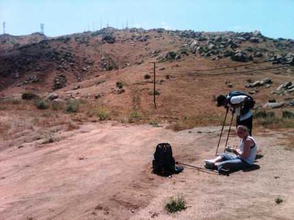
You can click on the pictures to make them bigger. You will notice the "green" grasses along the trail as it goes up the hill along the "not a trail Edison Trail." We were soon on the trail that leads down to the C. At first there was some desire to go down the road that met the place we were. Once everyone could see that it was a trail as opposed to not a trail trail, they were good to go. I wondered where the sense of adventure was.
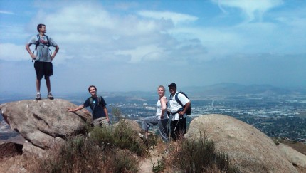
We trekked on and came to a spot where the trail started to descend. Of course it was a place to take a picture.
No C yet
Soon enough we sighted the C and quickly made our way to it. We had also passed the 6 mile mark as we came closer to the C.
See the C or C the C?
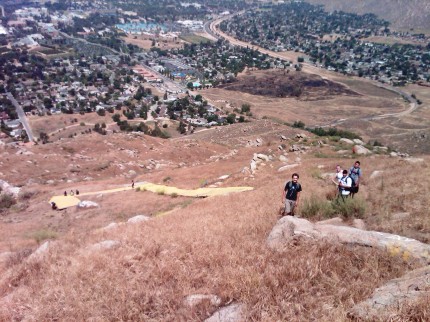
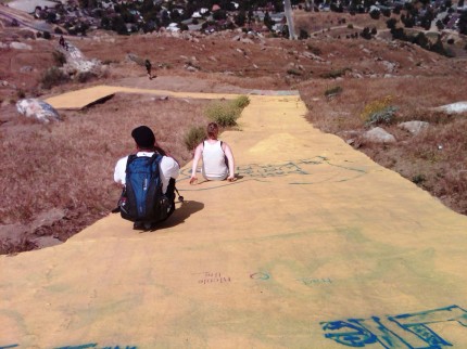
Once there we tightened our boots as the descent was fairly steep. There were those that preferred a different method of decent contrary to hiking down a trail.
See us slice or C us slide?
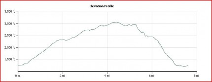
Soon enough we were making our way back to the truck. I did slip going down the hill and broke one of my hiking poles. Better to break a pole that get hurt. Overall the hike was a good exercise. I did not mind the unimproved trail and fox tails can be pulled out. The hike was 7.6 miles long and took us 3 hours and fifty minutes to complete.
Two Trees Trail to Box Springs Lookout and they past the C
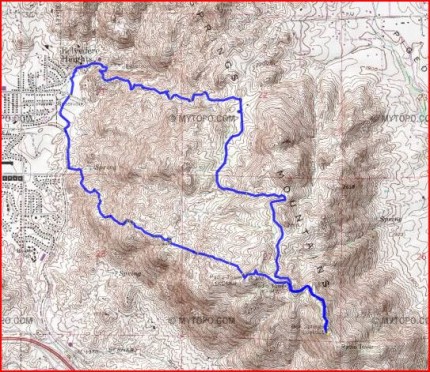
Almost 2000 feet of elevation gain
