Leaving the Blaine Street Park
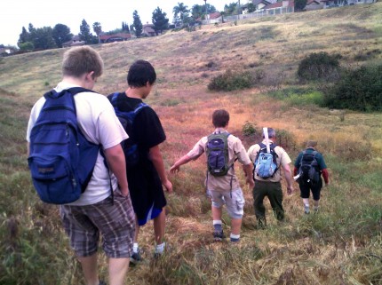
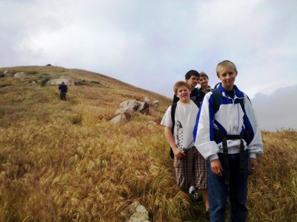
We made our way up towards the peak. When close to the peak we found a geocache, Sweet Tooth - GC3930
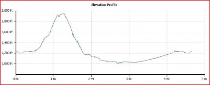
After finding the geocache we made out way to the peak, 1,944 ft. In that area we found another geocache Happy Birthday Honey - GCDEAD
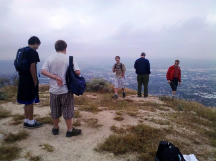
On top of Sugarloaf
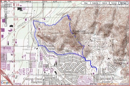
Of course we did not go down the way we came up. We hiked down the north side down to an elevation of about 1,000 ft. and then to the west and around the mountain back to where we started.
Jacob and the other crew members on the way down from Sugarloaf
With today's technology, you can see the route and the elevation. It was a fun hike. There are more geocaches in the are that need to be found.
